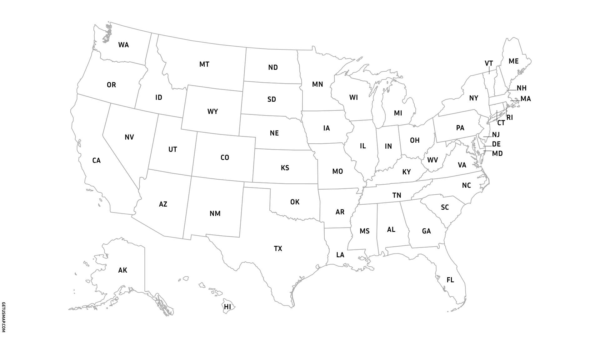
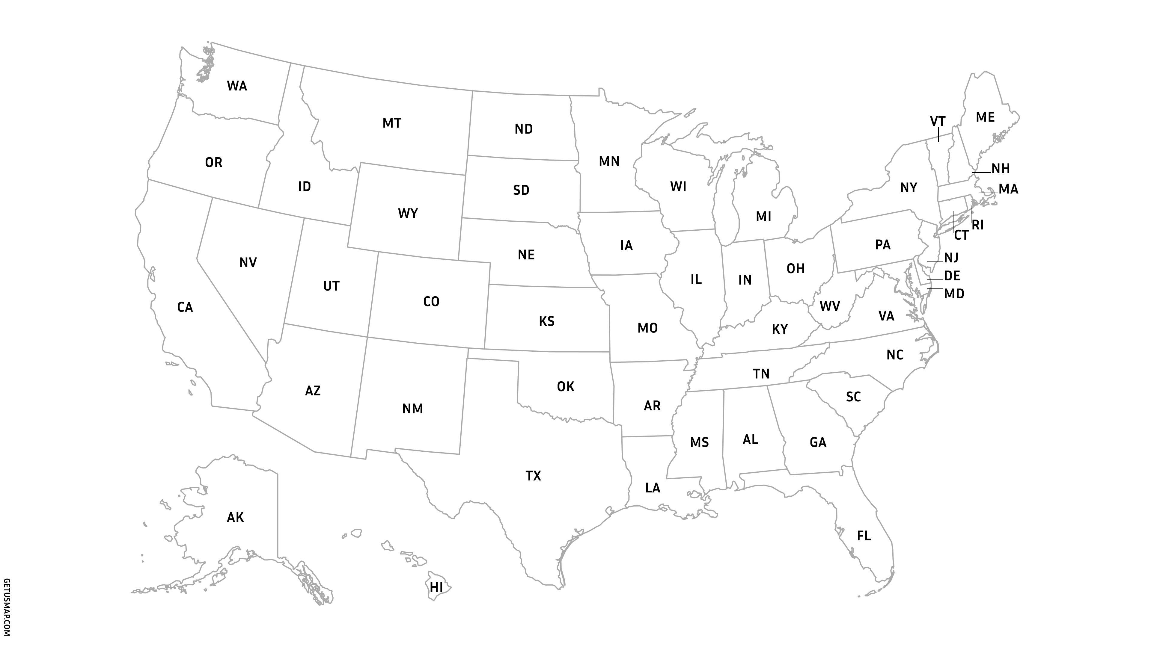
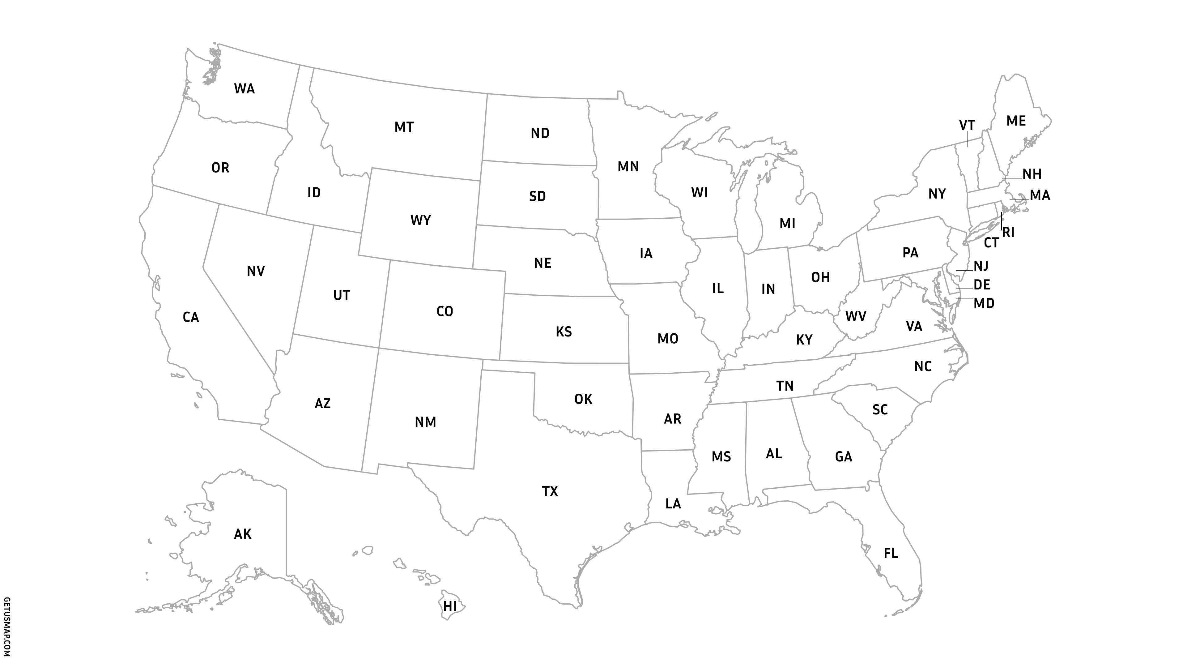
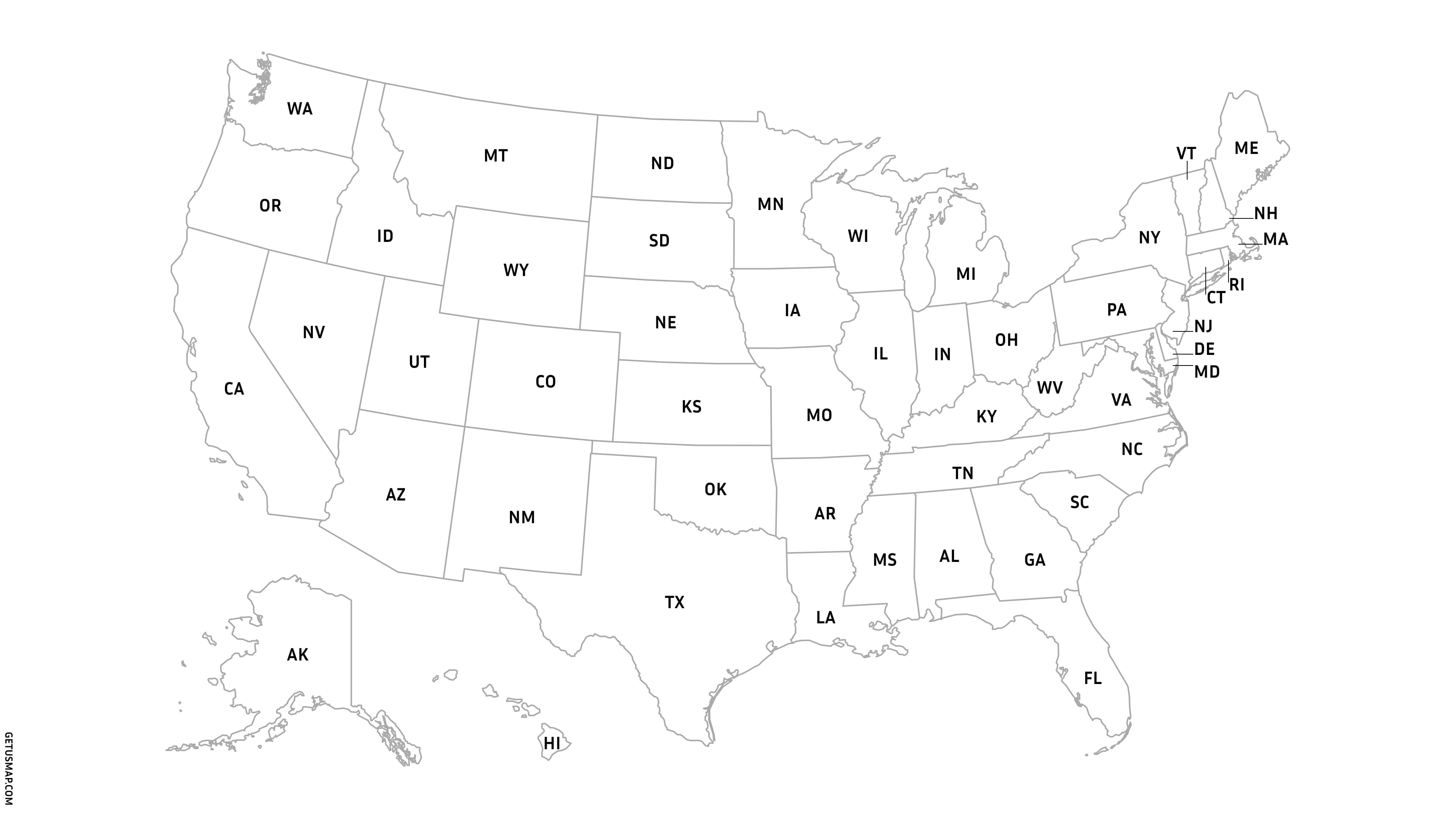
USA map with states and state names. Free download.
Download detailed united states map with clear boundaries—free forever. Use them anywhere. 🤝 Link back to getusmap.com and you're all set.
Blank US map 🗺️ without the hassle
Need a US map with states clearly labeled? Our blank US map shows all state names and boundaries - ready for your projects, presentations, or publications. All state abbreviations are clearly readable.
No watermark, no credit card required. Download once, use forever.
Need time zones instead? Check out our US time zone map with all four zones clearly marked.
Got pixels or going vector
Our US map with state names comes in three formats:
- JPG: For websites and digital documents (perfect at 300dpi)
- SVG: Scale it tiny or billboard-sized without losing clarity
- PNG: Transparent background lets you drop it onto any colored surface
All include state boundaries. All are current for 2025.
Simple credit link, full rights
We keep it easy. Use our US map outline however your project needs it—modify it, print it, publish it, or build something new with it. Whether you're writing a blog post, creating a presentation, or designing something to sell, the map works for you.
All we ask is a small credit: just mention getusmap.com with a link back to us. You can add it anywhere that feels natural—your blog footer, an image caption, your credits page, or wherever attribution usually goes in your work.
That one little link gives you complete freedom with the map.
What you can do with our maps
Teachers mark assignments, companies show market data, travel bloggers pin their routes. You can do anything with these maps.
Education & learning
Geography lessons, history projects, school presentations. Teachers love our blank US map for classroom activities.
Slides & decks
Market reports, advertising creatives, sales territories, regional analysis. No pixelated mess when you present to clients.
Creative content
YouTube videos, podcast graphics, newsletters. Clean maps that don't look like garbage when you need visuals.
Everything you need to know about our maps
What file formats do you offer?
JPG for web use, SVG for scaling without quality loss, and PNG with transparent backgrounds. All include complete state boundaries and are optimized for use in any design.
Can I use these maps commercially?
Yes. Modify them, print them, sell products with them. Just credit getusmap.com with a link back from any public project.
What makes your maps different?
Clean lines, accurate geography, and no licensing headaches. These aren't pixelated maps from 1997 - they're built for modern use.
Are states labeled on the map?
Yes, this US map shows all 50 states with their standard abbreviations (CA, TX, NY, etc.) clearly marked.
Get your map and get going
Get yours freeZero hassle, zero dollars
No email signup. No account creation. No surprise fees later. Just download the US map and start using it.